
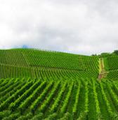
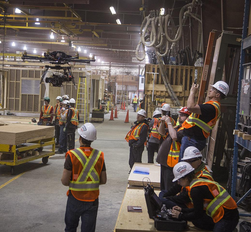
Map your assets and infrastructure and plan survey with drones of aerial scouting and monitoring

Find service companies and industry consultantsprocessing and situations recognition

Collect and share information across your organization and with the community

Collaborate with colleagues and experts and infrastructure

Turn images into big data and knowledge

Big Data analysis

1
Map your assets and infrastructure.
Plan scouting and monitoring
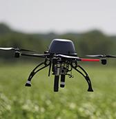
2
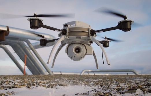
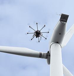
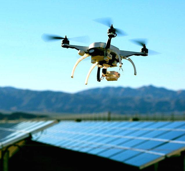
Find UAV companies (our partners)
around your site for flying
3
Load raw data into our cloud
and process to get best
results with:
4
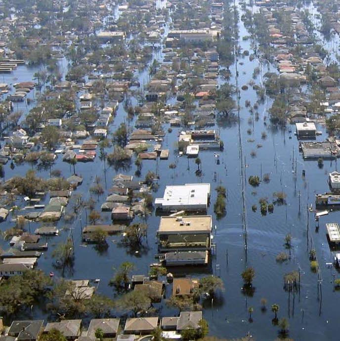
• Get a hybrid machine/man
professional recognition and interpretation of images
• Reports about emergency situations
and required actions
5
• Delivery survey data to multiple
platforms: web, mobile, tablets
• Share data and collaborate with
your employees and consultants
6
Analyze of Big Data, understand
trends and forecast future
There are many choices of drone manufacturers all with different product characteristics and intended purposes of use. The commercial use of drone technology will become commonplace because there really are few barriers for it to grow. Consumers must focus on their desired results. How will this technology deliver the value that their projects require while justifying the costs and time effort involved? At Skyglyph we simplify the aerial intelligence process by focusing on the last mile survey result emphasizing the data collection methodology, analysis, and interpretation.


Planet is the leading provider of global, near-daily satellite imagery data and insights. Planet is driven by a mission to image all of Earth’s landmass every day and make global change visible, accessible, and actionable. Founded in 2010 by three NASA scientists, Planet designs, builds, and operates the largest earth observation fleet of satellites, and provides the online software, tools, and analytics needed to deliver data to users.
![]()
AVISION offers commercial and governmentt customers a mobile App and lightweight SaaS solution for integrating, managing, and simplifying drone operations. The company is a certified provider of Unmanned Traffic Management (UTM / U-Space) services in the US and Europe. AVISION UTM powers advanced air mobility applications including emergency transportation and drone delivery. Also, the company provides extended situational awareness to first responders.
With a strong passion for Agrobusiness, SOEMITO Technology aim is contributing to the better life of the Farmers, Small and Medium Enterprise, as well Corporate Integrated Agro-Industry and also Who has a strong commitment to increasing the Agrobusiness performance in Indonesia
AeroGate is a company that provides advanced and easy-to-use technologies and services using drones
Our Partners are the key part of our platform. We build Open Business Model platform to provide best service and expertise for customers.
Or follow us in social media:


Our greatest treasure is our team.
We have come together into challenging adventure to bring the right solution for people.


We often publish interesting offers for our partners, new items that we use in our work, as well as interesting facts about our work
Role of modern crop insurance in agriculture and its challenges The agriculture sector is a cornerstone of numerous economies worldwide, significantly contributing to food security and employment. However, it is intrinsically susceptible to a myriad of adversities including climatic anomalies, pests, diseases, and market fluctuations. Crop insurance emerges as a quintessential mechanism to cushion farmers […]

Forests cover more than 30% of our planet’s whole area. Forests clean our air and water, give us work, protect, and even enable life itself. As usual, we do not value what we have. Everyone has heard of deforestation, illegal logging, forest degradation, and nature/human-caused catastrophes, lead to a rapid decline in the forest area. […]
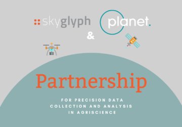
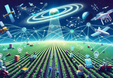
Skyglyph, a provider of aerial intelligence platform for agriscience, announces a partnership with Planet, largest earth observation satellite network delivering daily global datasets. The target auditory includes crop protection, seeds, agrochemical companies, and their distributors. The model of Skyglyph supposes to deliver composite analytics through the platform to customers: from satellites, drones, and even smartphones […]
Write us
[email protected]Also you can contact us here
Telegram: SkyglyphVisit us
36 Vitosha Blvd., apt. 8, Sofia 1000, BulgariaMore about on social media